
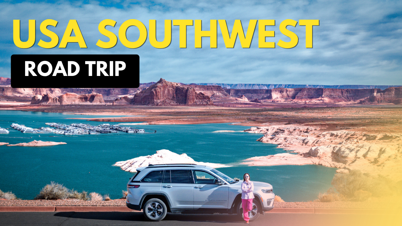
11-Day USA Southwest Road Trip Itinerary: Grand Canyon, Monument Valley & Death Valley — this was the route we used for our October/November 2025 USA Southwest road trip. Starting and ending in Los Angeles, we travelled through Arizona, Utah, Nevada and California, visiting some of the region’s most spectacular natural landscapes.
Our main objective was to explore natural attractions rather than cities or man-made sights. With only 11 days, we planned a loop from Los Angeles that would allow us to cover as many of the major national parks and iconic landscapes as reasonably possible without spending too much time retracing our route.
Our route was:
Los Angeles → Kingman → Grand Canyon → Page → Kayenta → Monument Valley → Page → Bryce Canyon → Las Vegas → Death Valley → Lancaster → Los Angeles
Advertisements
USA Southwest Road Trip Itinerary at a Glance
| Day | Route | Main Attractions | Stay |
|---|---|---|---|
| 1 | LAX → Los Angeles | Collect rental car | Los Angeles |
| 2 | Los Angeles → Kingman | Route 66 Arch | Kingman |
| 3 | Kingman → Grand Canyon | South Rim, Hermit Road | Valle |
| 4 | Grand Canyon → Page | Desert View Drive, Horseshoe Bend | Page |
| 5 | Page → Kayenta | Lake Powell, Glen Canyon Dam, Canyon X | Kayenta |
| 6 | Kayenta → Monument Valley → Page | Monument Valley, Forrest Gump Point | Page |
| 7 | Page → Bryce Canyon | Bryce Canyon viewpoints | Bryce Canyon City |
| 8 | Bryce Canyon → Las Vegas | Bryce Canyon, Fremont Street, Las Vegas Strip | Las Vegas |
| 9 | Las Vegas → Death Valley | Dante’s View, Zabriskie Point | Death Valley |
| 10 | Death Valley → Trona Pinnacles → Lancaster | Mesquite Flat Sand Dunes, salt plains, Trona Pinnacles | Lancaster |
| 11 | Lancaster → Ontario → Los Angeles | Ontario Mills, Griffith Observatory | Los Angeles |
Day 1 — Arrive in Los Angeles
Route
LAX → Los Angeles
We arrived at LAX, collected our rental car and spent the night in Los Angeles. We kept this day simple so that we could start the road trip properly the following morning.
Stay: Los Angeles
Advertisements
Day 2 — Los Angeles to Kingman
Route
Los Angeles → Kingman, Arizona
Distance: approximately 280 miles / 450 km
Driving time: around 4–4½ hours
The first driving day took us east towards Arizona, following the general direction of historic Route 66. Our main stop was the Kingman Route 66 Arch, a quick introduction to the famous highway before continuing deeper into the Southwest. Kingman was mainly chosen as a convenient overnight stop, positioning us well for the Grand Canyon the following morning.
Stay: Kingman, Arizona

Advertisements
Day 3 — Grand Canyon on Our USA Southwest Road Trip
Route
Kingman → Grand Canyon South Rim
Distance: approximately 175 miles / 280 km
Driving time: around 3 hours
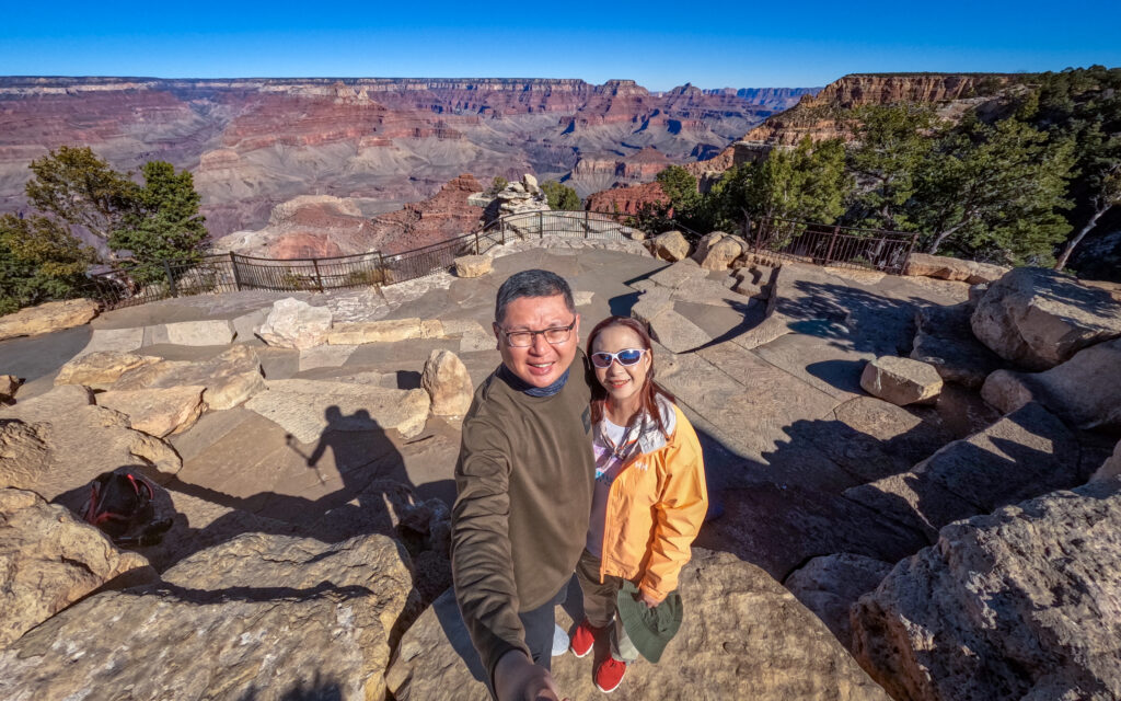
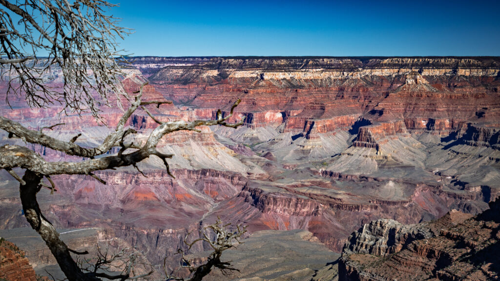
The Grand Canyon was one of the main reasons for planning this USA Southwest road trip. The canyon stretches for about 278 miles and reaches roughly 18 miles in width in places. The Colorado River carved the canyon through layers of rock over millions of years, creating one of the world’s most spectacular geological landscapes.
Why the South Rim?
The Grand Canyon has two main rims. The South Rim is more accessible and developed, with more viewpoints and facilities, and is open year-round. The North Rim is higher, cooler and receives more snow, with a much shorter visitor season and seasonal road closures.
Since we were travelling in October/November, the South Rim was the better choice. It also fitted perfectly into our route from Kingman to Page, allowing us to explore the South Rim before continuing east along Desert View Drive.
Grand Canyon Village & Central South Rim
We started around the Visitor Center and Grand Canyon Village.
Our stops included:
- Mather Point
- Yavapai Point
- El Tovar Hotel
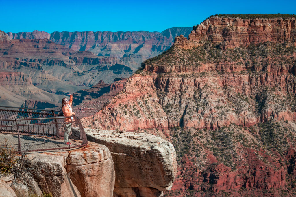
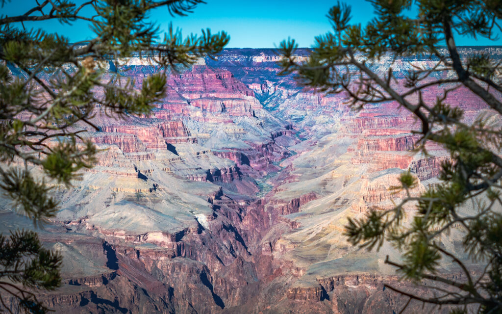
We then moved to Hermit Road, where private vehicles are generally restricted during the March–November period, so we used the free Red Route shuttle.
Stops included:
- Powell Point
- Hopi Point
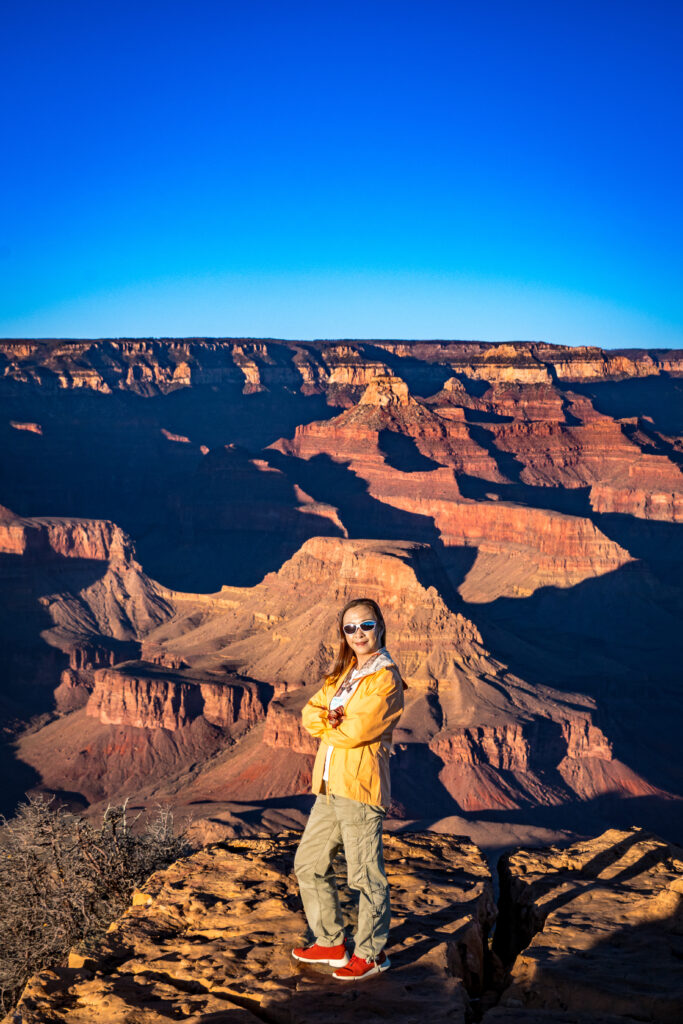
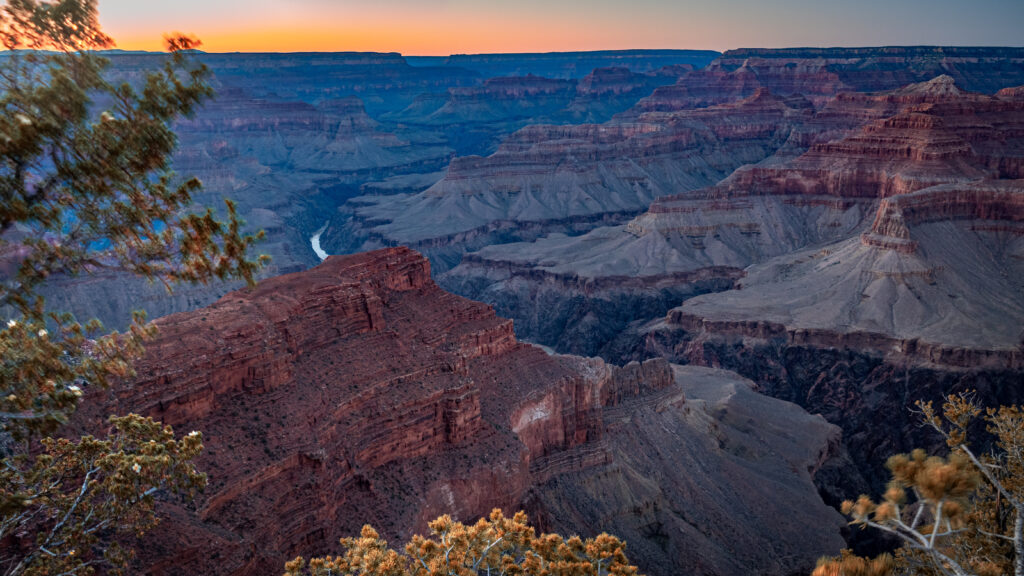
Grand Canyon Strategy for Our USA Southwest Road Trip
Rather than trying to cover the entire South Rim in one day, we divided it into two sections.
Day 3: Grand Canyon Village + central South Rim + Hermit Road
Day 4: Desert View Drive + exit through the East Entrance
Hopi Point for Sunset (Hermit Road)
We specifically planned Hopi Point around sunset. It has wide views across the canyon and is one of the better locations along Hermit Road for sunset photography.
Stay: Valle, Arizona
Advertisements
Day 4 — Grand Canyon to Page
Route
Grand Canyon South Rim → Page, Arizona
Distance: approximately 135–140 miles / 215–225 km
Driving time: around 2½–3 hours, excluding stops
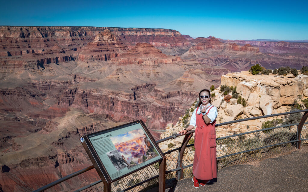
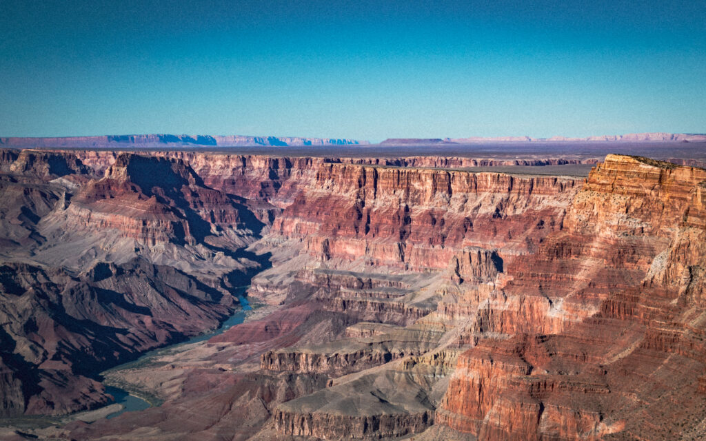
Desert View Drive (Grand Canyon South Rim)
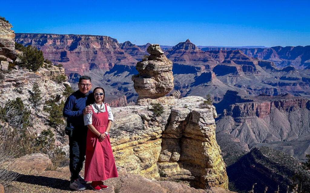
We continued east along Desert View Drive, a 23-mile scenic road leading to the East Entrance.
This section included:
- Pipe Creek Vista
- Duck on a Rock Viewpoint
- Grandview Point
- Moran Point
- Navajo Point
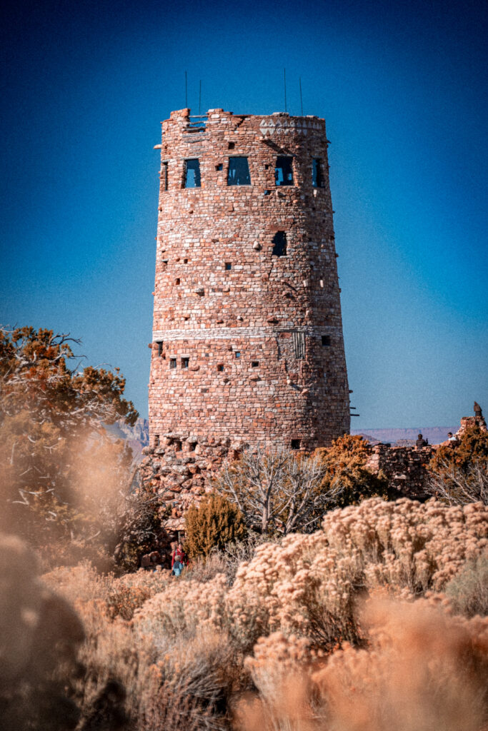
- Desert View Watchtower
Horseshoe Bend (Page, AZ)
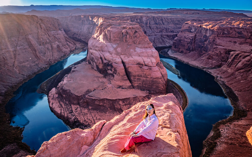
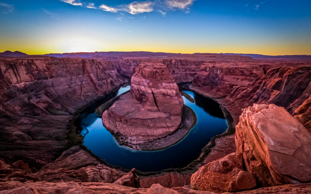
After arriving in Page, we visited Horseshoe Bend. Here the Colorado River makes a dramatic horseshoe-shaped bend around the sandstone landscape.
Our Strategy
We chose to visit Horseshoe Bend around sunset, when the changing light makes the landscape particularly impressive. There is no separate entrance fee for Horseshoe Bend itself, although parking is charged. We recommend arriving early enough to secure parking, especially during busy periods.
Stay: Page, Arizona
Advertisements
Day 5 — Page to Kayenta
Route
Page → Kayenta, Arizona
Distance: approximately 100 miles / 160 km
Driving time: around 1¾–2 hours, excluding sightseeing stops
We spent much of the day exploring the Page area before continuing east towards Kayenta.
Lake Powell
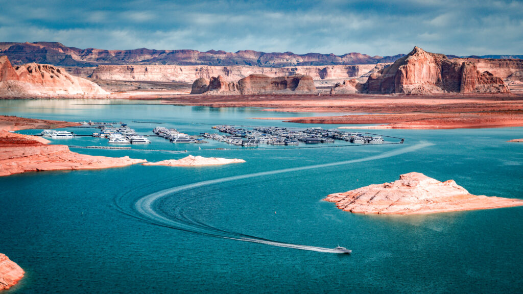
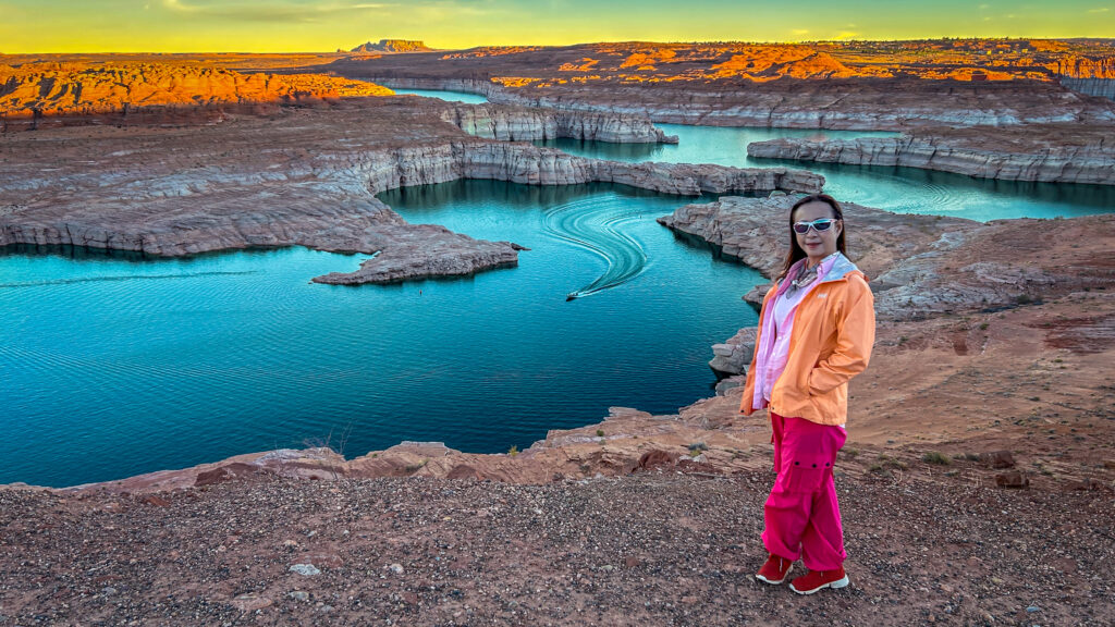
Lake Powell is the huge reservoir created by Glen Canyon Dam. We stayed at Lake Powell Resort at Wahweap Marina, which we found particularly convenient because it allowed us to explore the lake surroundings during the quieter early morning and evening periods.
Glen Canyon Dam
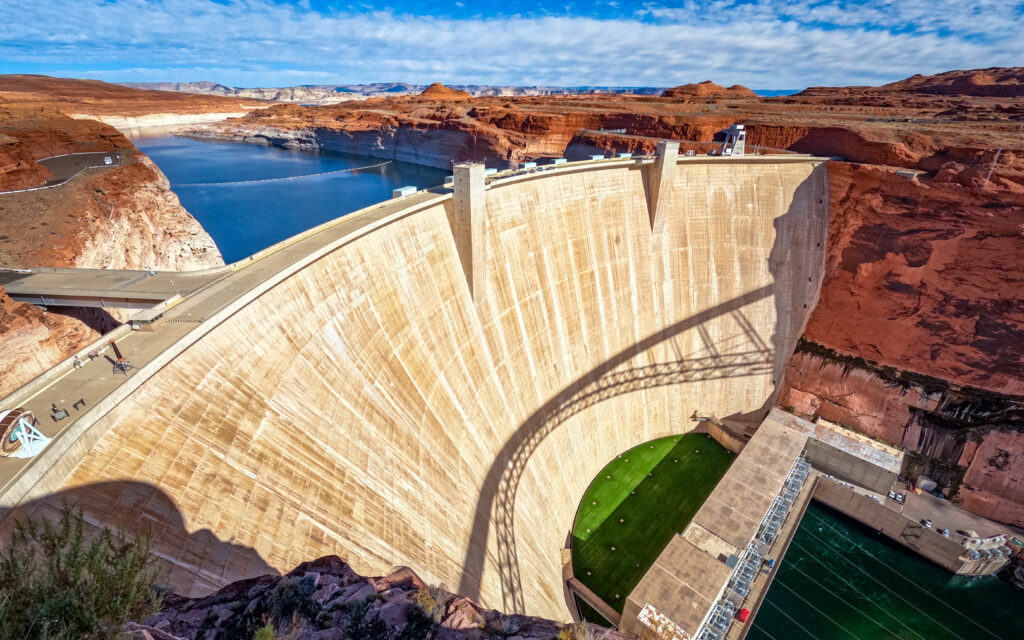
We also visited Glen Canyon Dam, the massive concrete dam that created Lake Powell. The scale of the dam and the surrounding sandstone landscape make it worth a stop even if dams aren’t normally high on your sightseeing list.
Canyon X
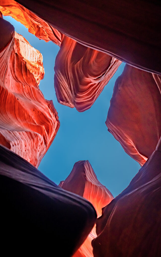
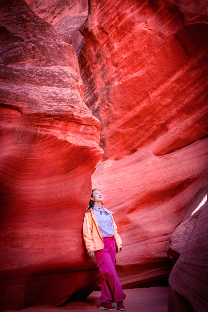
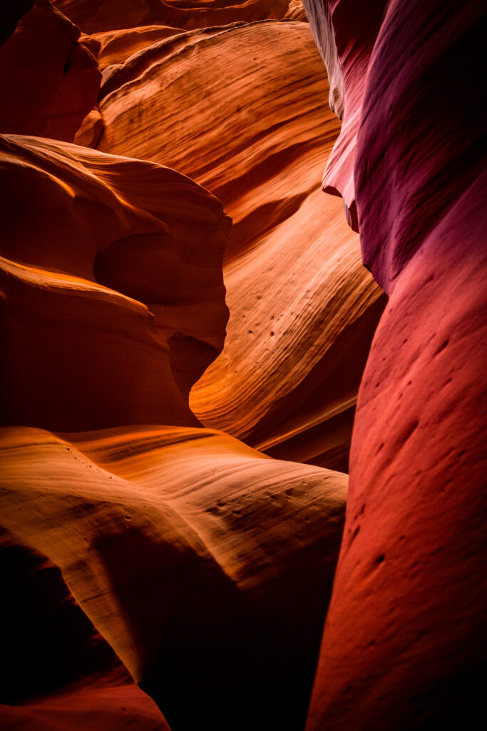
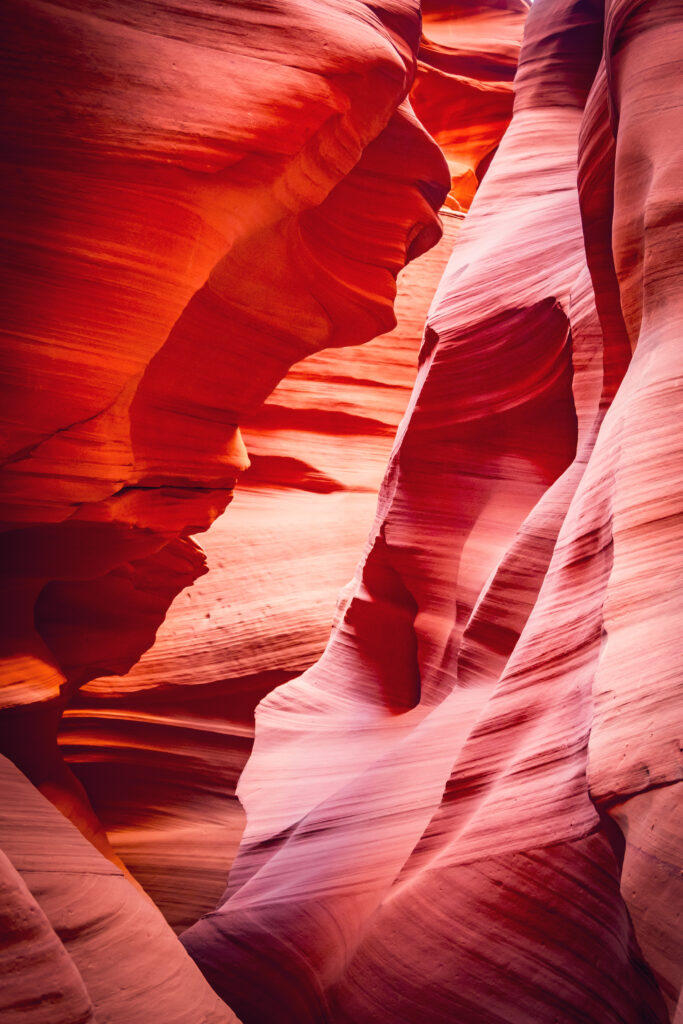
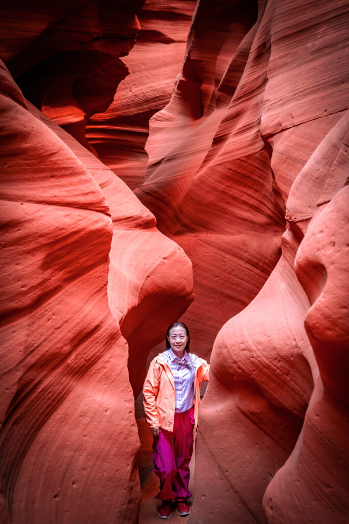
Page is famous for Upper and Lower Antelope Canyon, but we chose Canyon X instead. The reason was mainly crowding. We felt that the better-known Antelope Canyon tours could be too busy, so Canyon X offered us an alternative way to experience the spectacular flowing sandstone formations.
One important point: video recording was not permitted during our Canyon X tour.
Biidi the Arch
We also made a short visit to Biidi the Arch, a small sandstone formation near Page. This is an interesting additional stop if you have some spare time in the area.
After completing our Page sightseeing, we drove to Kayenta.
Stay: Kayenta, Arizona
Advertisements
Day 6 — Monument Valley & Forrest Gump Point on Our USA Southwest Road Trip
Route
Kayenta → Monument Valley → Forrest Gump Point → Page
Distance: approximately 155 miles / 250 km
Driving time: around 3–3½ hours, excluding the Monument Valley scenic drive and stops
Monument Valley Tribal Park
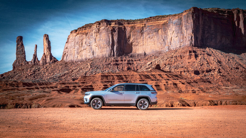
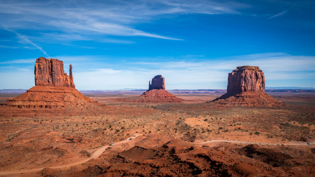
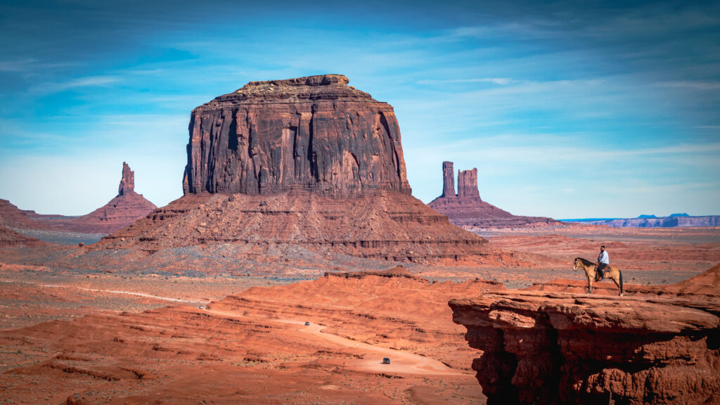
Monument Valley is probably one of the most instantly recognisable landscapes in the American Southwest, with its enormous sandstone buttes rising from the desert floor. Unlike the national parks on this itinerary, Monument Valley is a Navajo Tribal Park.
How to Explore Monument Valley
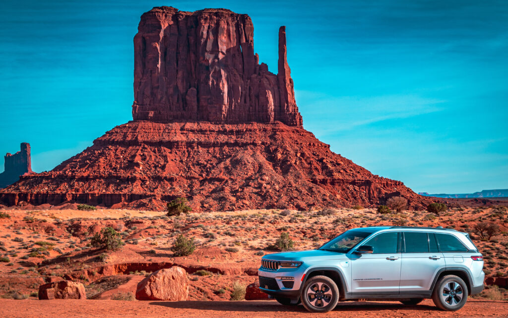
The main attraction is the approximately 17-mile scenic loop, making Monument Valley essentially a drive-through attraction. The road can be rough and sandy, so we recommend a vehicle with higher ground clearance, such as an SUV. We also recommend going early in the day. Monument Valley can become busy, and queues or waiting times are possible during peak periods.
Forrest Gump Point
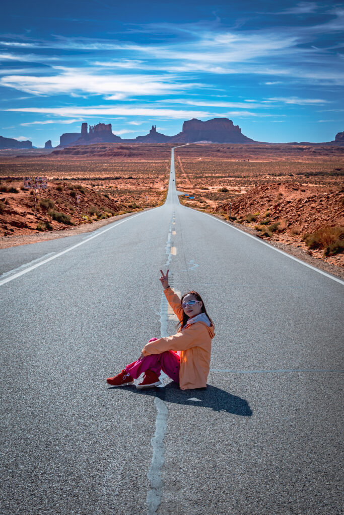
After leaving Monument Valley, we stopped at Forrest Gump Point on US-163. This is the famous stretch of straight highway made internationally recognisable by the movie Forrest Gump, where Forrest is seen running along the road with Monument Valley in the background. It is an easy roadside stop and one of the classic photographs of an American Southwest road trip.
We then continued back to Page.
Stay: Page, Arizona
Advertisements
Day 7 — Page to Bryce Canyon
Route
Page → Bryce Canyon National Park
Distance: approximately 150 miles / 240 km
Driving time: around 2½–3 hours
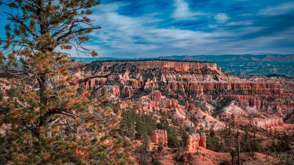
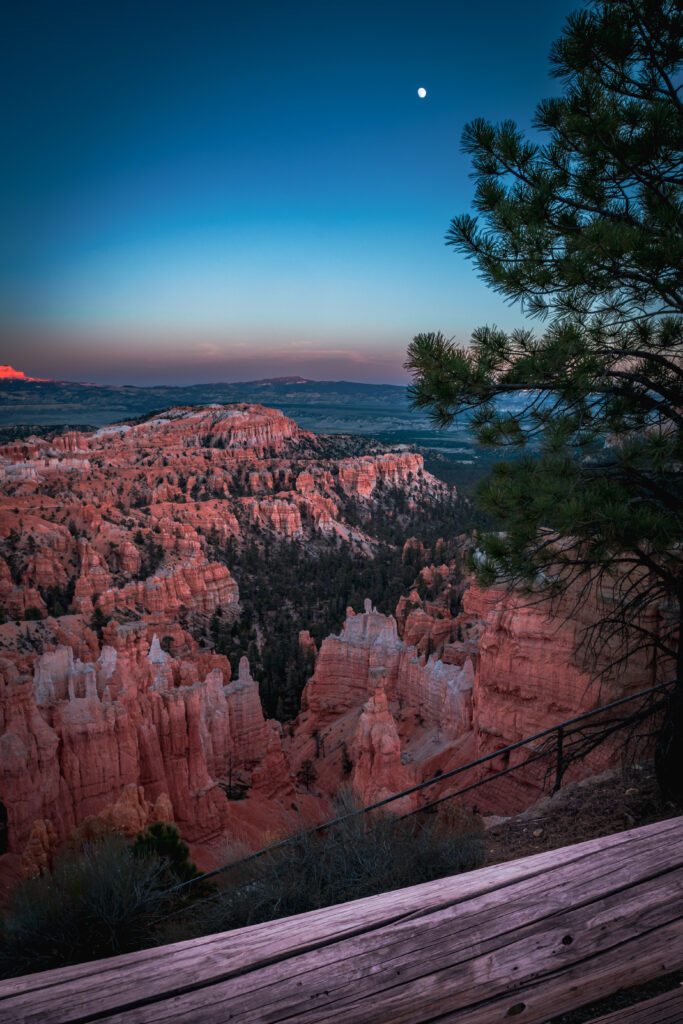
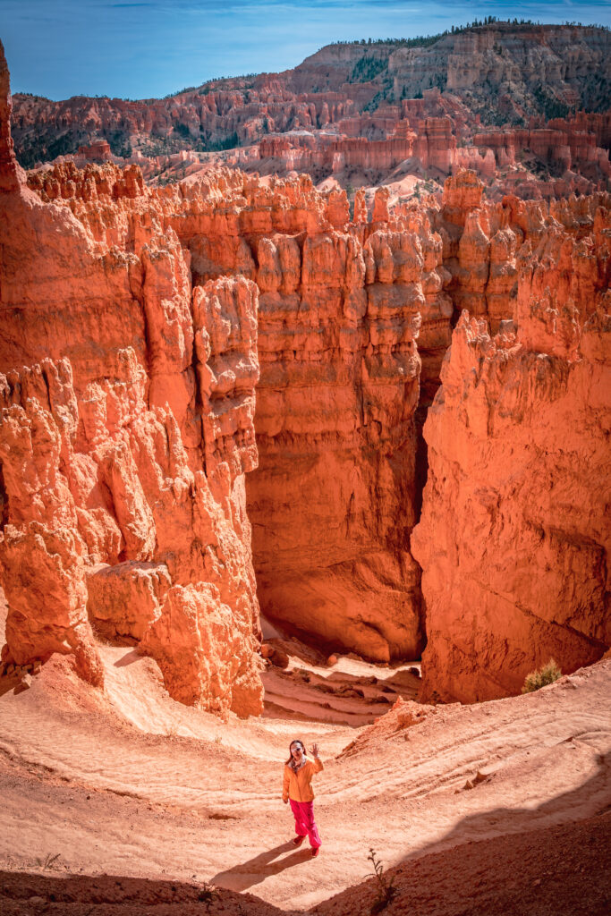
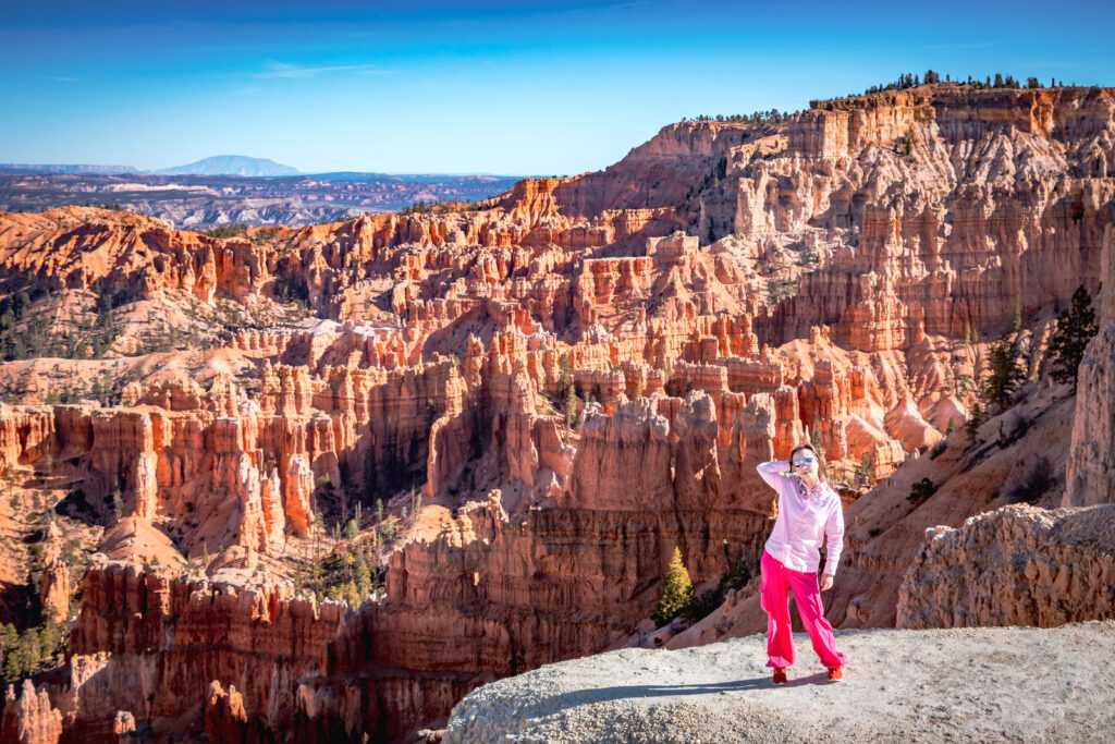
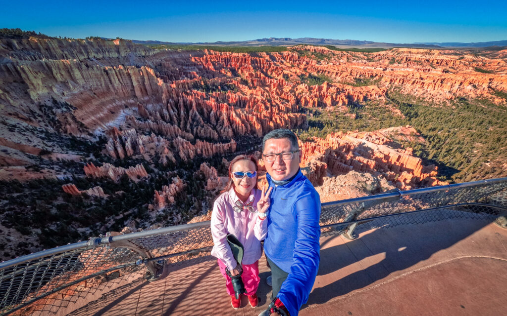
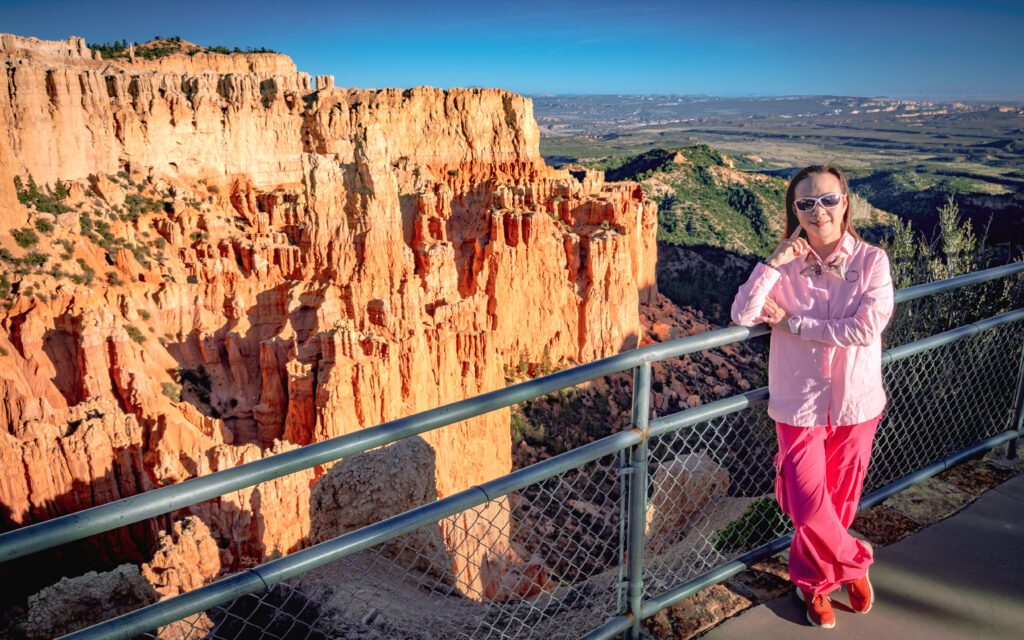
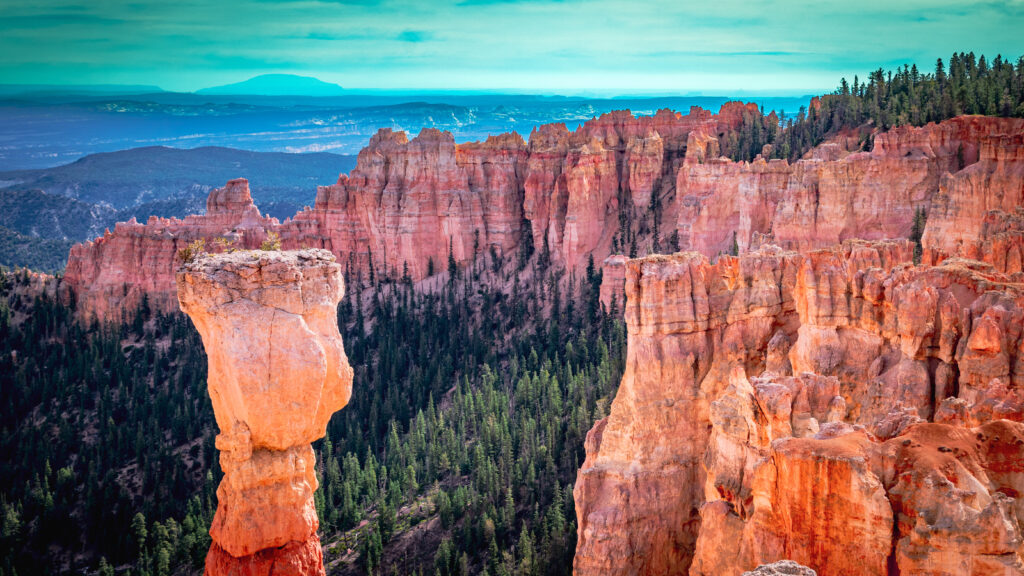
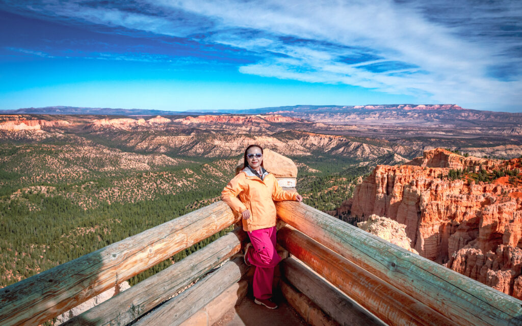
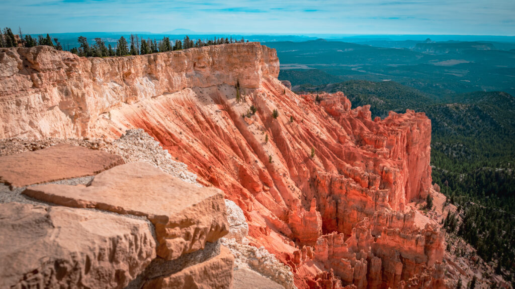
Bryce Canyon is very different from the Grand Canyon. Its most distinctive feature is its collection of hoodoos — tall, irregular rock formations created by erosion. The concentration of hoodoos here makes Bryce one of the most distinctive landscapes in the Southwest.
Bryce Canyon Strategy for Our Southwest Road Trip
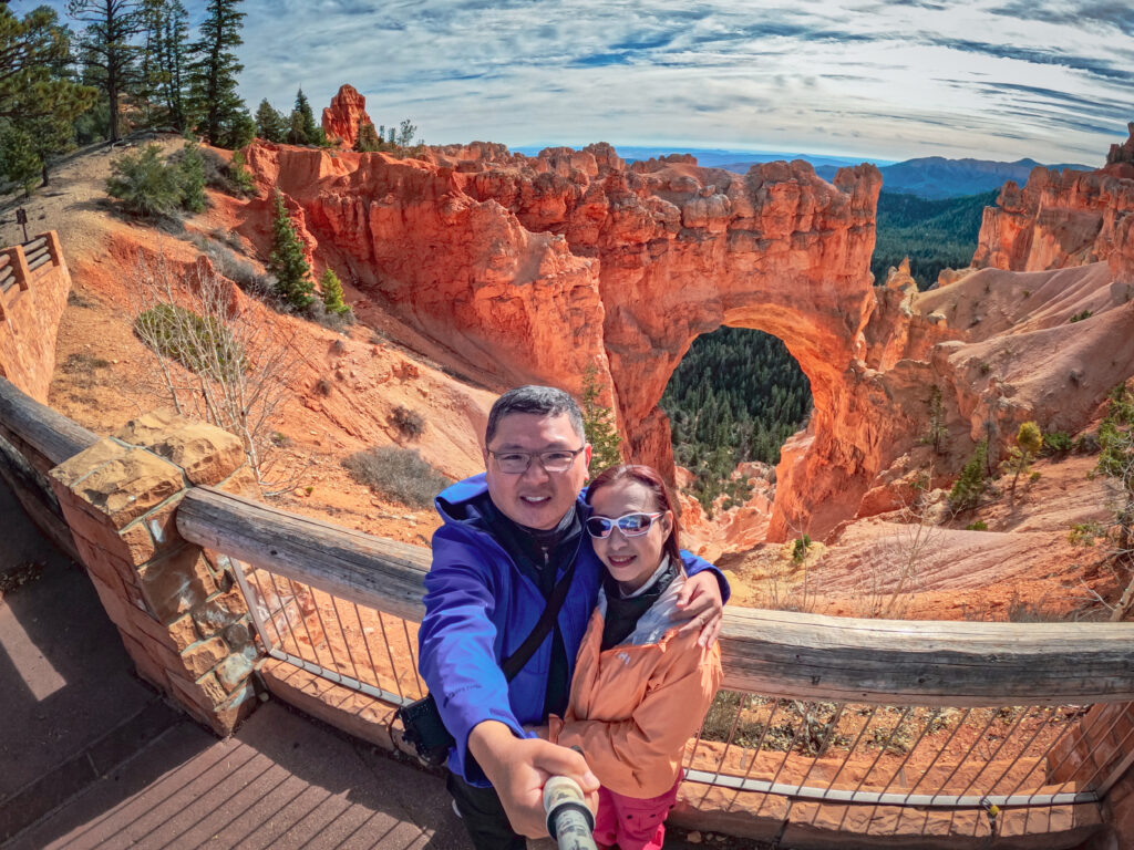
We spread the viewpoints over two days rather than rushing through them.
Our stops included:
- Sunrise Point
- Sunset Point
- Inspiration Point
- Bryce Point
- Paria View
- Swamp Canyon Overlook
- Farview Point
- Natural Bridge
- Agua Canyon
- Rainbow Point
- Yovimpa Point
Bryce is relatively easy to plan because the scenic road essentially takes you from one viewpoint to the next.
We explored roughly half of the viewpoints on Day 7 and completed the remaining section the following morning.
Stay: Bryce Canyon City
Advertisements
Day 8 — Bryce Canyon to Las Vegas
Route
Bryce Canyon → Las Vegas, Nevada
Distance: approximately 260 miles / 420 km
Driving time: around 4¼–4½ hours, excluding stops
We started the day by completing the remaining Bryce Canyon viewpoints before driving south towards Las Vegas.
Las Vegas
Las Vegas was not a major focus of our trip. Since our priority was natural scenery, we only selected a few places:
- Las Vegas North Premium Outlets
- Fremont Street
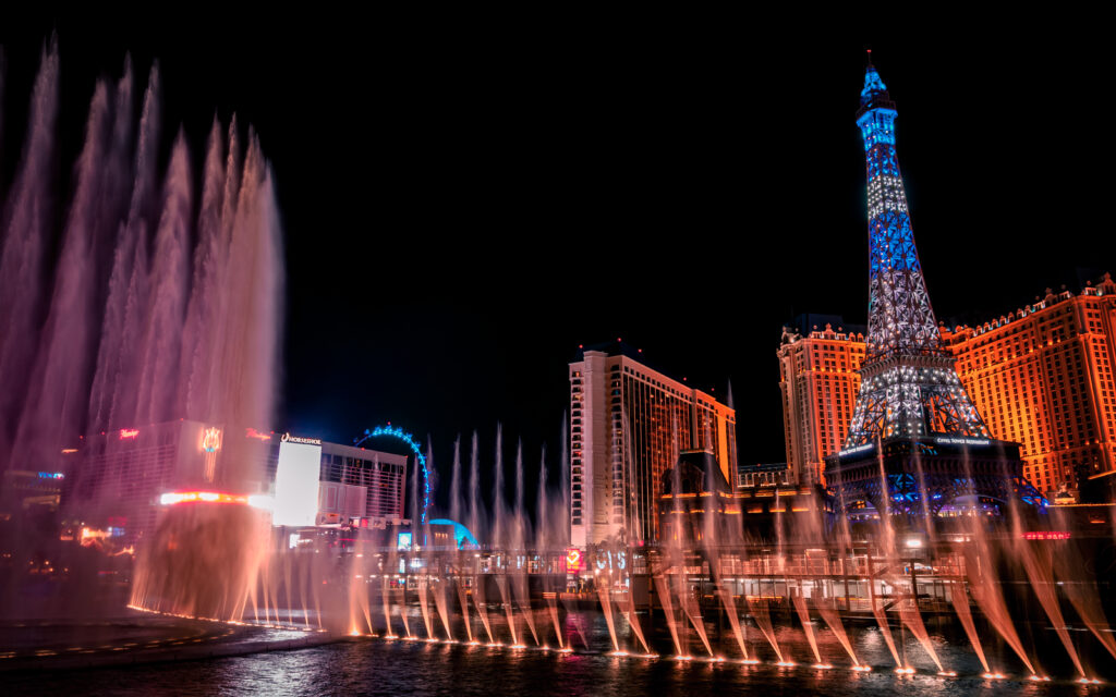
- Fountains of Bellagio
This gave us a taste of Las Vegas without taking too much time away from the main purpose of the road trip.
Stay: Las Vegas

Advertisements
Day 9 — Las Vegas to Death Valley
Route
Las Vegas → Death Valley National Park
Distance: approximately 130–140 miles / 210–225 km to the Furnace Creek area
Driving time: around 2½–3½ hours, depending on route and stops
Death Valley was the final major national park on our route. It is famous for its extreme desert environment, enormous valley, mountains, salt flats and sand dunes. Badwater Basin, at about 282 feet below sea level, is the lowest point in North America.
We stayed at The Ranch at Death Valley in Furnace Creek, mainly because accommodation inside the park is limited and staying there made it much easier to explore the area.
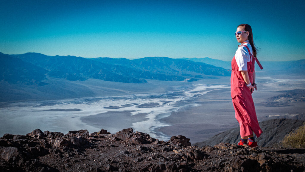
Dante’s View
Our first major stop was Dante’s View, which provides an enormous panorama over Death Valley from high above the valley floor.
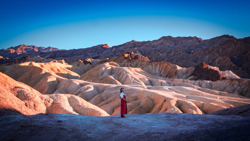
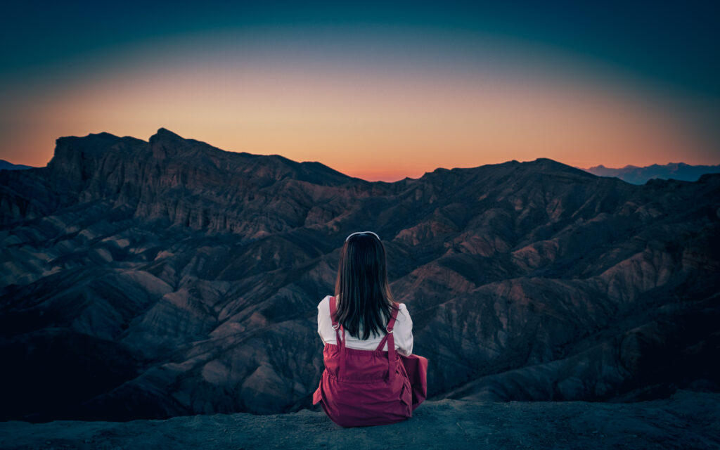
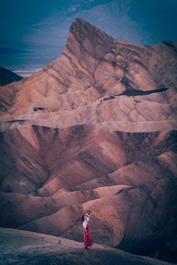
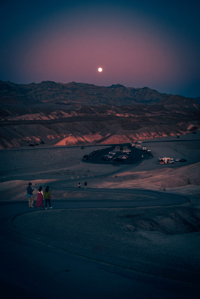
Zabriskie Point
We then visited Zabriskie Point, famous for its highly eroded, colourful badlands.
Both viewpoints provide very different perspectives of Death Valley and are worth including in a first visit.
Stay: The Ranch at Death Valley

Advertisements
Day 10 — Death Valley to Lancaster
Route
Death Valley → Trona Pinnacles → Lancaster, California
Distance: approximately 200–230 miles / 320–370 km, depending on the exact route and detours
Driving time: around 4–5 hours, excluding sightseeing and the Trona Pinnacles detour
Badwater Basin — Our Original Plan
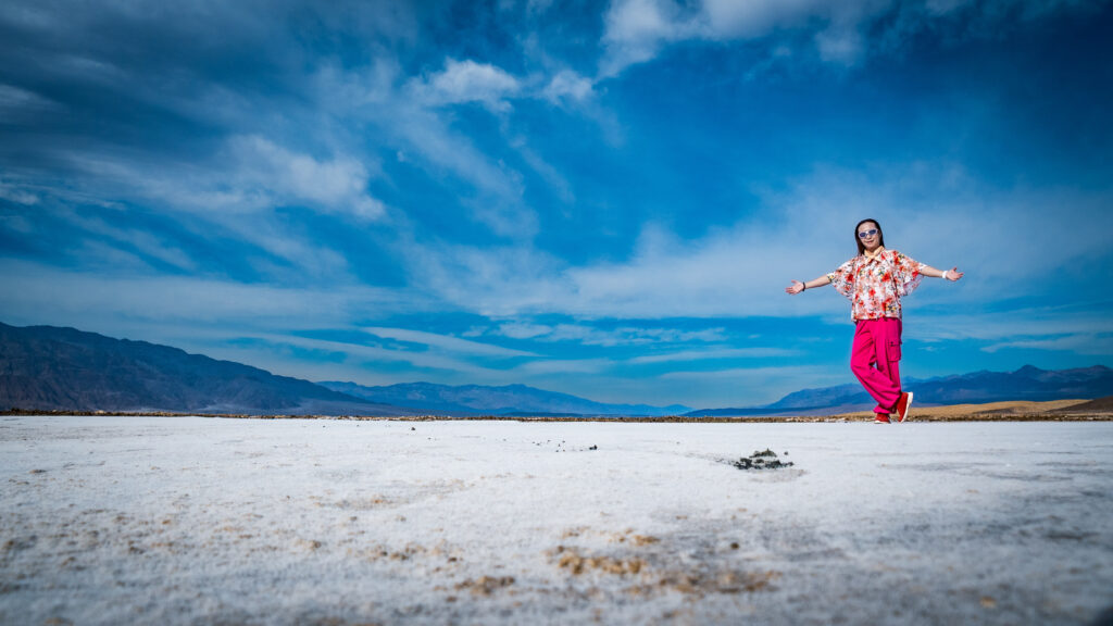
We had originally planned to visit Badwater Basin and its famous salt flats. Unfortunately, the road was damaged by flooding and was closed during our visit, so we couldn’t reach the main Badwater Basin area.
Rather than abandon the idea of seeing the salt landscape altogether, we adapted our route. We drove through the Mustard Canyon area and found a nearby section of salt plains that we could reach with a short walk from the road. This was a good reminder that Death Valley road conditions should always be checked shortly before visiting.
Mesquite Flat Sand Dunes
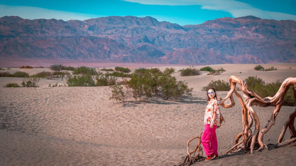
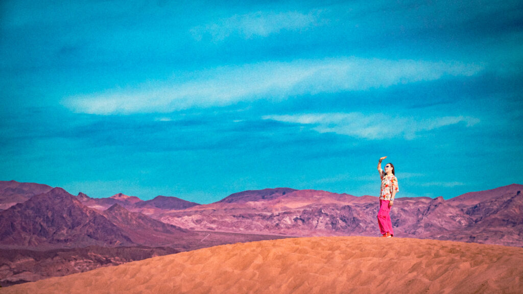
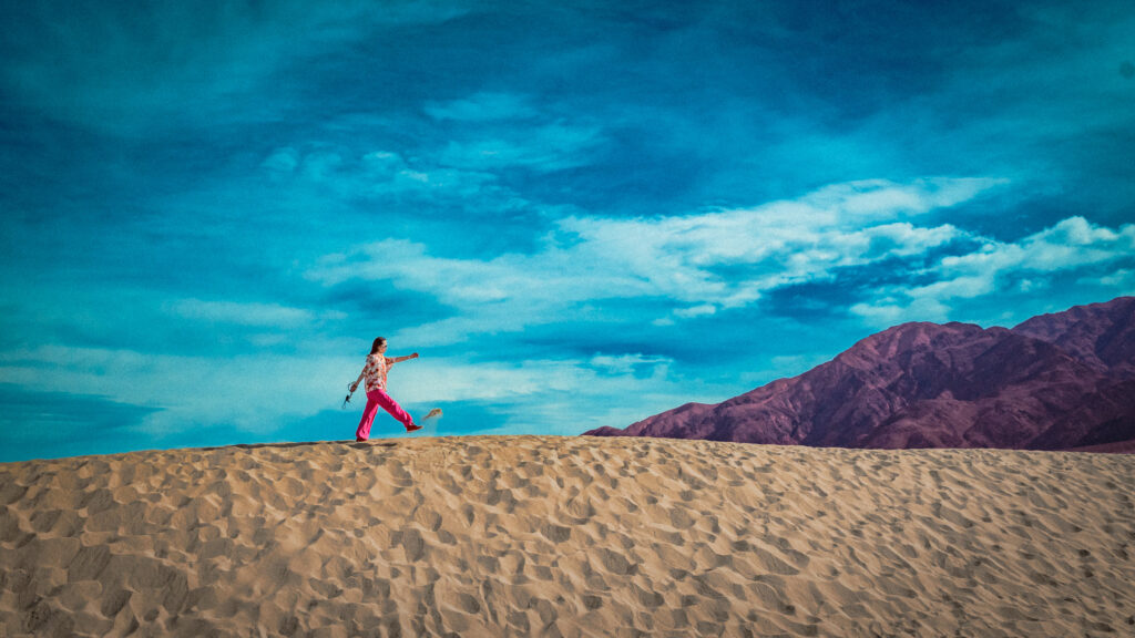
Before leaving the park, we visited Mesquite Flat Sand Dunes. They are one of the easiest places in Death Valley to experience a classic desert landscape without needing a long hike.
Trona Pinnacles
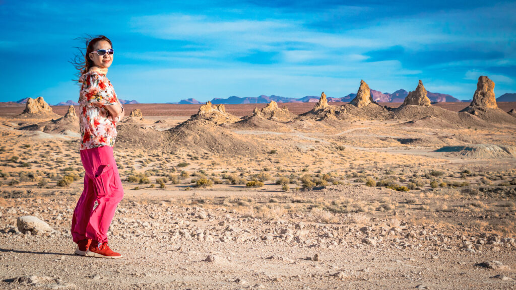
On the way towards Lancaster, we made a detour to Trona Pinnacles. The site contains more than 500 unusual tufa formations rising from the Searles Dry Lake basin, creating an almost otherworldly landscape. It is a worthwhile addition if you’re travelling this route.
After visiting the Pinnacles, we continued to Lancaster.
Stay: Lancaster, California
Advertisements
Day 11 — Lancaster to Los Angeles
Route
Lancaster → Ontario Mills → Griffith Observatory → Los Angeles
Distance: approximately 100–120 miles / 160–195 km, depending on your final destination in Los Angeles
Driving time: around 2–3 hours of driving, excluding shopping, sightseeing and traffic
Our final day was kept relatively light.
Ontario Mills
We stopped at Ontario Mills for some final shopping before returning towards Los Angeles.
Griffith Observatory
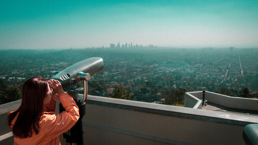
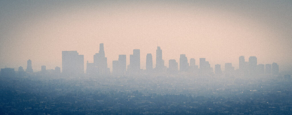
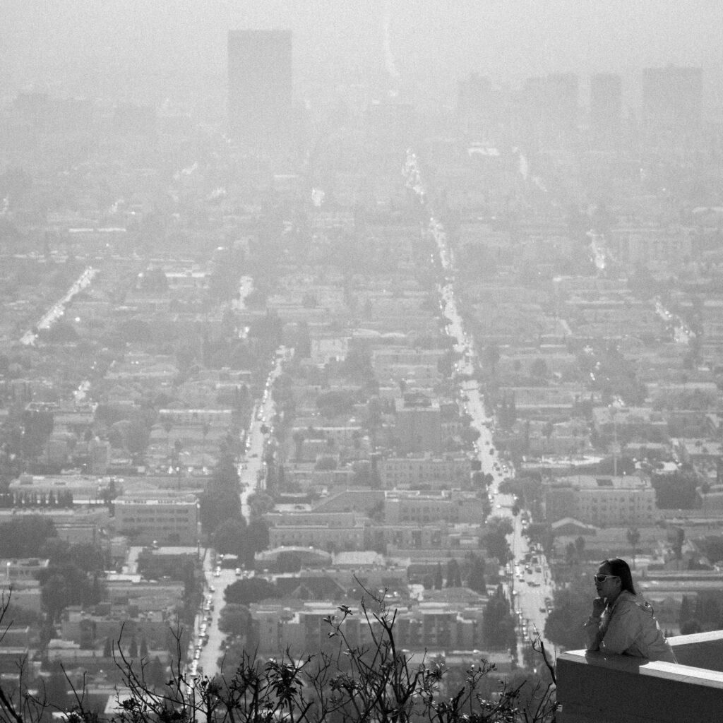
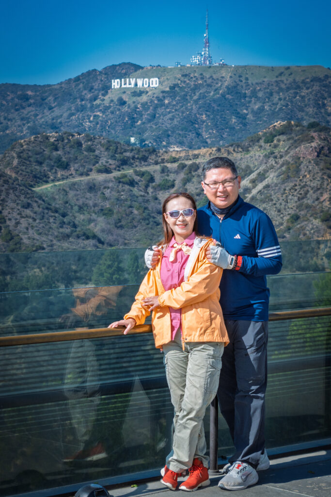
Our final attraction was Griffith Observatory, which provided a completely different view of the trip — a panorama over Los Angeles and the Hollywood area. After more than a week of deserts, canyons, mountains and national parks, it was a fitting way to end our Southwest road trip.
After returning to Los Angeles, our 11-day USA Southwest road trip was complete.
Is 11 Days Enough for a USA Southwest Road Trip?
For us, 11 days was enough to see a lot, but not everything.
This itinerary is designed for travellers who want to cover the major landscapes of the Southwest rather than spend several days in each national park. It is fairly fast-paced, but the route is efficient because we deliberately avoided unnecessary backtracking.
The biggest attraction of this USA Southwest road trip is the variety of landscapes — the enormous scale of the Grand Canyon, the sandstone formations around Page, Monument Valley’s iconic buttes, Bryce Canyon’s hoodoos and the stark desert scenery of Death Valley.
If your priority is nature, scenic drives, geological landscapes and national parks, this route provides a very good introduction to the American Southwest.
See Also
- Lake Tahoe in Pictures, California/Nevada (Sept-2014)
- Pacific Coast Highway
- Pacific Coast Highway (Addendum)
Leave a Reply